Flooding Swamps North Georgia and Tennessee Border Communities
Heavy rain sent floodwaters through Fannin, Gilmer, Murray and Union counties after a storm crossed northern Georgia and southeastern Tennessee overnight from November 4 into November 5. Kemp’s emergency declaration makes state equipment, emergency agencies and funding available to support local cleanup work.
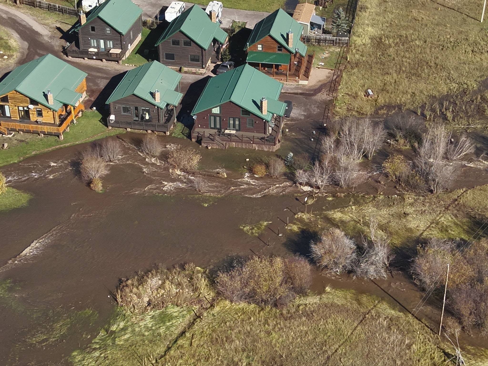
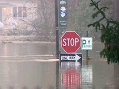
Some higher elevations received as much as 6 inches of rain. The Toccoa River rose about 16 feet in 12 hours, reaching a reported record crest near 18 feet and surpassing a high set in February 1990. Fast runoff from steep mountain slopes inundated the low-lying communities of McCaysville, Georgia, and Copperhill, Tennessee.
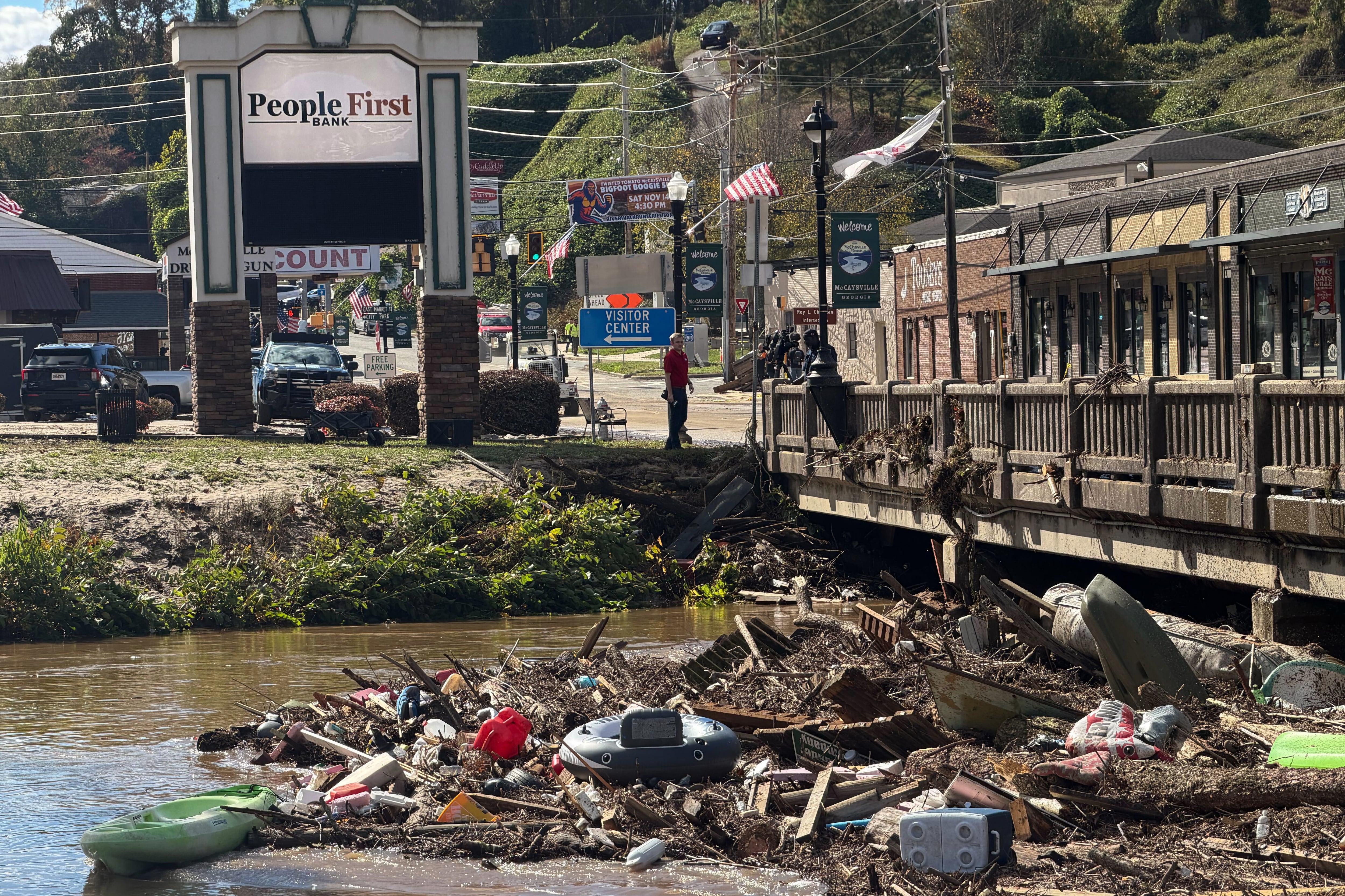
Floodwater spread beyond the riverbanks, damaging roads and bridges, carrying tree trunks into bridges and lifting large propane tanks. In Copperhill, residents along Fightingtown Creek described escaping through water roughly 6 feet deep as belongings floated through their homes.
First responders, swift-water crews and U.S. Army Rangers from Camp Merrill rescued people overnight by boat and military helicopter. McCaysville officials said no major injuries had been reported; several people received hospital treatment for hypothermia. In Tennessee, rescue teams brought many people to safety from houses and roadways.
By the afternoon of November 5, water levels had begun to recede, exposing mud and silt across streets and damage to storefronts in the shared downtown tourism area. Officials had not released a final count of displaced residents or damaged properties, a cost estimate, or a schedule for road repairs and bridge inspections.
Reported by FOX 5 Atlanta, CBS News.